BAM - Biodiversity Around Me
An open-source widget to display species observed in any area in the world (point, line, polygon or geolocation), using open data sources (GBIF, GeoNature…).
MIT • Vue 3 • Leaflet • Turf.js
An open-source widget to display species observed in any area in the world (point, line, polygon or geolocation), using open data sources (GBIF, GeoNature…).
Embed a list of species observed in an area, into any page using a simple <iframe> or a shared link.
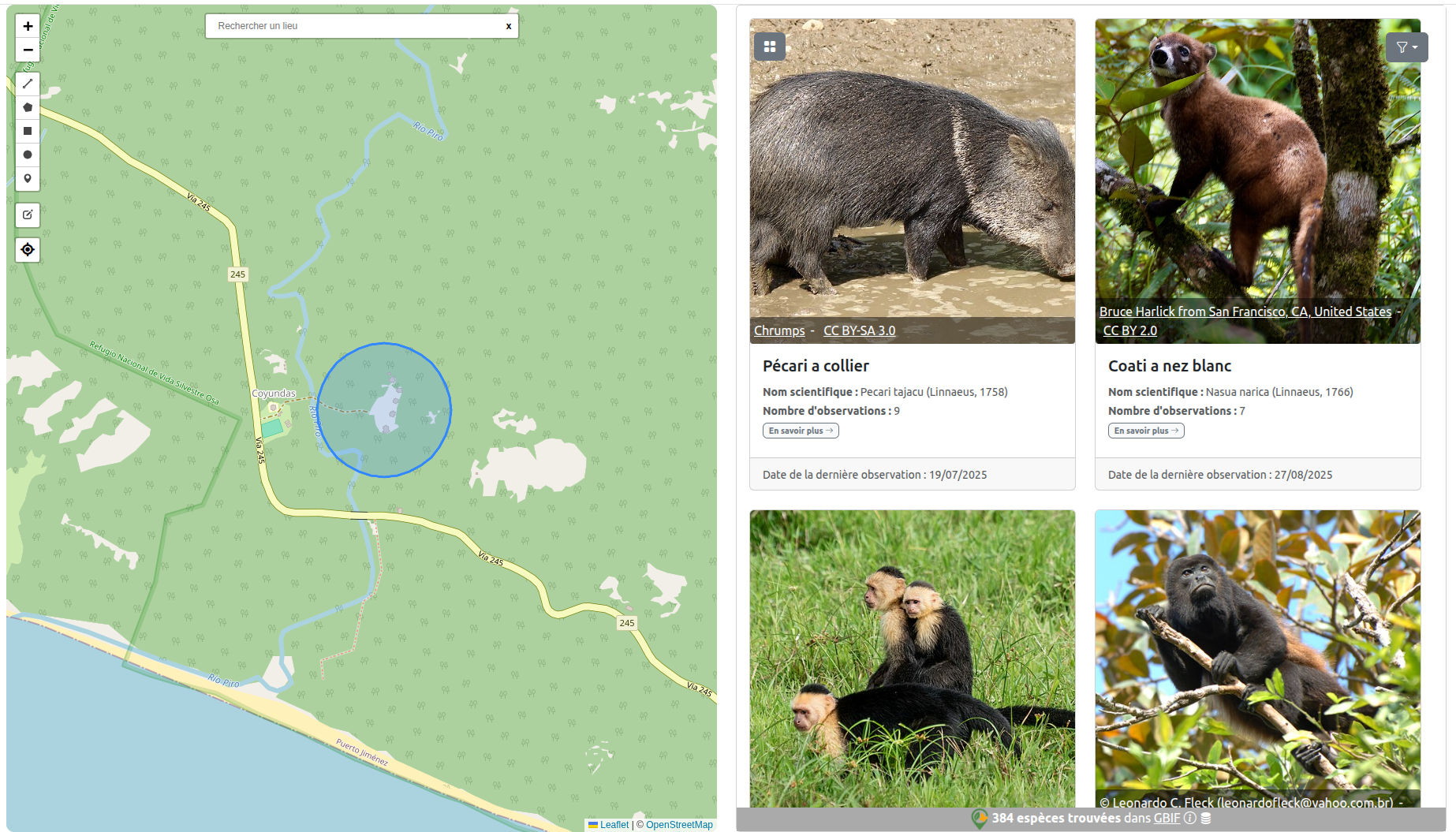
Fetches data from GBIF or a GeoNature instance, with media (photos/sounds) from GBIF, Wikidata, INPN or TaxHub.
Define the area (WKT/GeoJSON, point, line, polygon, buffer), filter by dates, taxonomic class, language, rendering modes, and more.
Example: species observed around the forestry school in Banco National Park in Abidjan (200m radius) — Map + List mode.
Tip: open the demo in a new tab to test area editing, URL sharing, etc.
      <iframe
       title="BAM"
       width="100%" height="640" allow="geolocation"
       src="https://pnx-si.github.io/BAM-widget/#/?widgetType=list&lang=en&buffer=200&x=-4.05224&y=5.38471"></iframe>
Adjust the parameters (wkt, buffer, widgetType, lang, etc.). Generate the exact URL using the configurator.
widgetType: list, mapList…mode: gallery, detailedListwkt: geometry (POINT / LINESTRING / POLYGON)buffer: buffer in meters (for points & lines)lang: fr, en, esdateMin, dateMaxclass: Mammalia, Aves, etc.customDetailPage: e.g. https://www.gbif.org/species/{taxonID}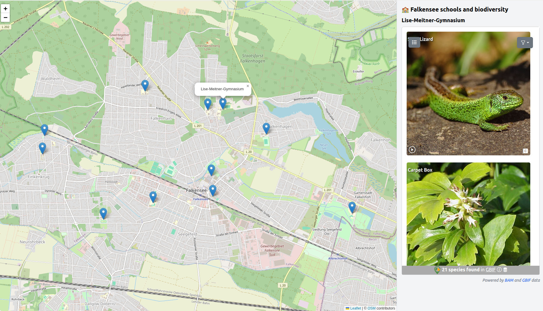
💡 Biodiversity observed around huts, schools, a hike, an event... Discover examples of BAM widget integration ➡️.
🏆 BAM wins second prize of international GBIF Ebbe Nielsen challenge 2025. ➡️